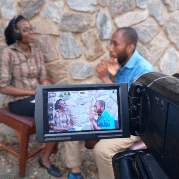
In 2022, Lacuna Fund’s 2020 Agriculture and Language grantees gathered to network, share their projects, discuss lessons learned, and explore their datasets’ use cases and long-term sustainability.
View the video of the convening in Tunis, Tunisia and click below to learn more about and access our grantees’ available datasets.
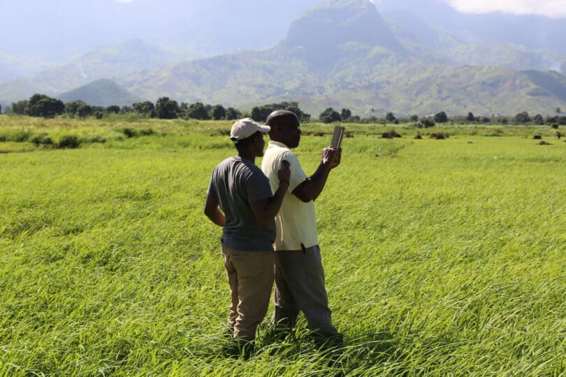
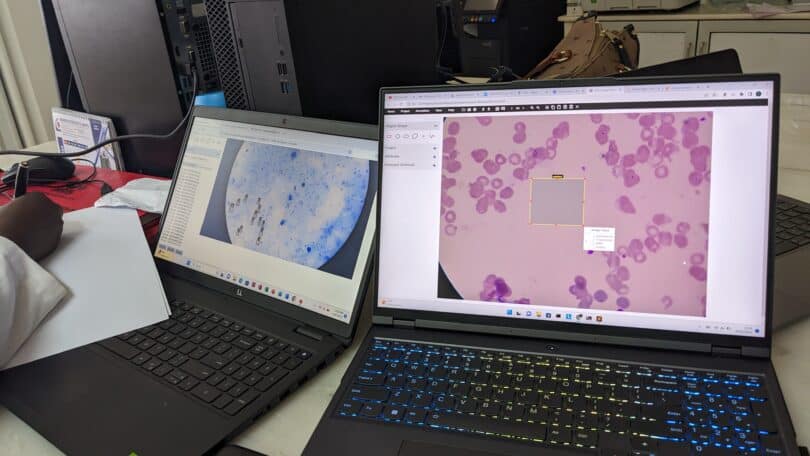
Agriculture Datasets
Language Datasets